Free Maps


HOME


  • General WWW free Mapping Lookup:

    www.multimap.com  
    (now Microsft BING maps)          www.streetmap.com  (international)
     

  • Free Terrain Files source for the openGL_IGCexplorer (OGIE) 3D Viewer. If your OGIE installation already has a WORLD.DEM file, you do not need to use these links:

    http://pc12-c714.uibk.ac.at/GPLIGC/download/digital_elevation_model/

    For free GTOPO30  '.DEM' terrain 'tiles' - for use with OGIE - copy and paste this URL into your browser ...
    http://eros.usgs.gov/#/Find_Data/Products_and_Data_Available/gtopo30_info


DOWNLOAD FREE TaskNAV MAPS
(includes TPs and SUA airspace, where available)
 
 Before you download:

 TN2011 'CD Edition' downloads and TN2011 CD/DVDs include, as standard, all of the map downloads below

 Compatibility: 
All vector maps below use a proprietary TaskNAV design which works with Tn2003/5/7/8 and Tn2011.  The maps will not work with any other software, including obsolete versions of TaskNAV, i.e. DOS TN4, TNWin95 and Tn2000.  If applicable, please upgrade free as necessary to the latest TaskNAV program version, TN2011 available by internet download from the downloads  page.

 
SUA Airspace  status :
All SUA format airspace files included with the TN map distributions below have been tested on TN, however, please note that the TaskNAV authors do not create or build or formally supply airspace files in any format.    Nevertheless, for the convenience of TN customers, when useful airspace files in Newport-Peace (tnp) SUA format become available from public internet sources, and they check out OK, we will include them, at our discretion, in TaskNAV CD and TN website (map) distributions.  

From Tn2005 v3.1.305, correctly formatted SUA files in tnp format should run 'as-is' on TN.  For older TN versions and releases, minor SUA file modifications and corrections may be necessary for full TN compatibility and the avoidance of airspace display errors.


If you are running any version of TN and after a map install, you get SUA airspace errors, then upgrade to TN2008.   If you still have a problem, please send a copy of the Airspace file to ...   and delete that particular SUA air file from the 
..\TNWin-V2\AIR\..  folder.

 SUA Compatibility:
Use TN2011 or later version to get maximum tolerance of format variations in SUA files that you install from non-TN sources.


 Free Maps selection
 To download, click the map name link.  
 Map Editions:
 
The date in the map link indicates the release date of that map edition ...


Argentina and Chile
01 May04


France  and  Alpes du Sud 01May04


Lithuania Latvia Estonia 01May04


Slovakia
01May04


Australia SA.V.NSW
01May04


Germany - basic
 26Aug08


Morocco
30Sept2012
 
 
Spain
04May04


Australia Queensland
01May04


Italy
30Sept2012

 
FlgNZ.jpg (14874 bytes) 
New Zealand
04Sept05


South Africa and Namibia 21Feb09


Australia West
01May04


Japan
30Sept2012
 
 
Netherlands Belgium NW_Germany 01May04
 
FlgUK.jpg (23129 bytes) 
UK and Ireland 27May08


Brazil
01May04


Kenya
01May04


Poland
01May04


Ukraine, Romania and Moldova 01May04


Finland
01May04


Hungary EG2002
01May04
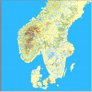
 
FlgSwed.jpg (27674 bytes)
Scandinavia
01May04


Swiss and Austrian Alps
22June06
 
   
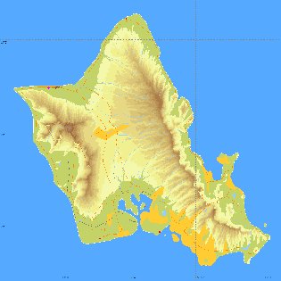
USA-Hawaii-Oahu
23Feb2009

USA-AL-Florida-GA-SC
27Feb06
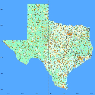
 
   
USA-Texas 12Aug05

USA Utah  23June06
 

FLAT MAPS - no RELIEF
Baltic (with Poland), Finland and Hungary maps are currently presented without topographical detail because the terrain in gliding areas is mainly flat

Digital Chart of the World
All maps include DCW  road, rail, river, town outlines and world basemap/borders

Note
The TN anti-clutter map settings automatically remove detail at an appropriate "zoomed out" level.   Most detail cannot be seen on the images above which are thumbnails for identification purposes only, and do not contain map detail.   It is switched off.


    TOP


Advanced graphical flight planning, vector mapping and automatic GNSS analysis for glider pilots
TaskNAV is compatible with IGC conformant .IGC files, Garmin .TRK files and the obsolete logger format .DAT files ...
XC Profi, Cambridge, Colibri, EW, DSX, Filser, Garmins, IMI. Easy Matchbox, Peschges, GR1000, Volkslogger, Posigraph, Scheffel, Zander
Manufacturer codes: ACT, CAI, DSX, EWA, FLA, FIL, GAR, GCS, IMI, LXN, NTE, PES, PRT, SCH, SDI, ZAN, igc, gnss

TaskNAV© Copyright 1993 - 2010  DJ Robertson & Co.  All rights reserved

Revised:  February 21, 2014 23:54